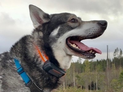
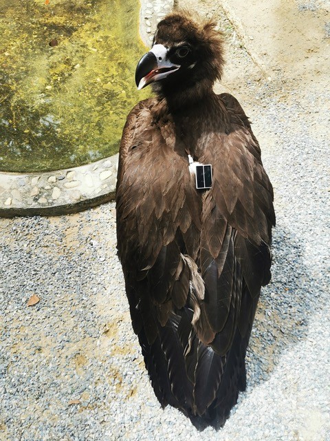
FLiteTraX Backpack/Patageal
FLiteTraX Backpack/Patageal
Solar GPS Backpack or Patageal GPS Tag with IoT (Internet-of-Things) cell/mobile phone communciations through the LTE-M band.
FLiteTraX weight from 26g (0.9oz).
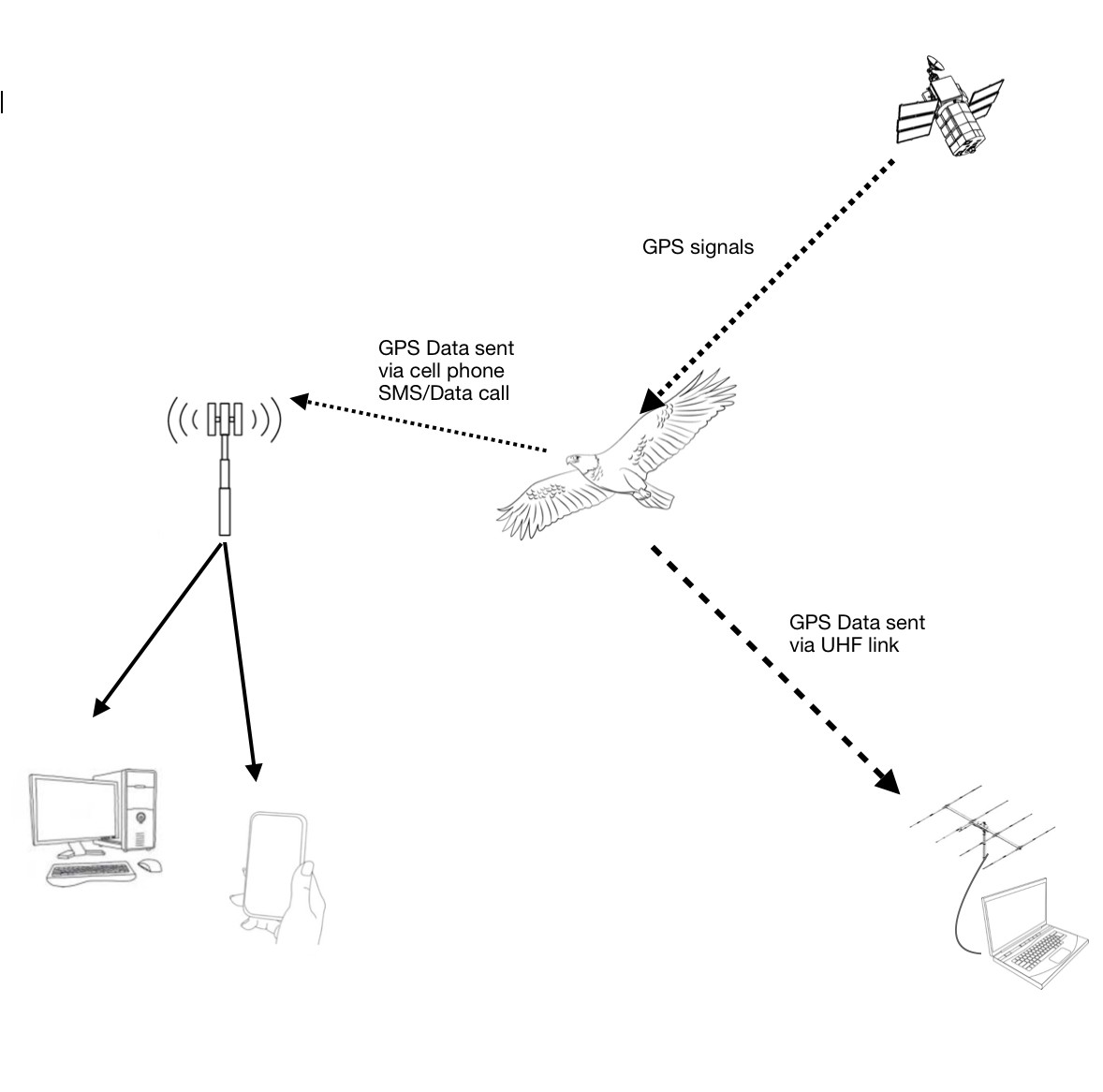
Data download and setup preferentially using IoT LTE-M Cell/Mobile phone network using embedded IoT M2M (Machine to Machine) Telenor Global SIM . World-wide connectivity using LTE-M mobile network.
Additionally, data download from collar or tag can also be completed via WASP Radio (UHF) Receiver and Antenna. Range of download 1km with 360º dipole antenna and up to 8km with yagi antenna.
- GPS data (<5m accuracy) collected from every 15 minutes.
- Battery life of solar tag - indefinite.
- Data download using IoT mobile/cell phone service via LTE-M M2M integrated SIM within the collar or ear tag.
- LTE-M incorparates new features of Power Saving Mode and Extended Discontinuous Reception allow for devices to deep sleep from up to several seconds up to several days. Conseqnetly near real time data streaming is avaialble.
- Data can also be download from the tag using the WASP Radio (UHF) Receiver and Antenna. Range of download with dipole 360º antenna 1km, with directional yagi up to 8km.
- Setup over the air (GSM - mobile phone) or Wasp Radio (UHF) Receiver (mobile phone access required).
- Solar tag also transmits last known location via the UHF radio ping (transmitted every 20 seconds) which can be picked up by Wasp Receiver.
- Data includes Lat, Long, Alt, Temp, HDoP, No Satellites.
- Data not downloaded is stored on board. Up to 300,000 locations can be stored. Data is only deleted when given a command to be deleted.
- Geo-fence, activity and mortality alarm enabled.


Sign Up For Our Newletter
For offers and the latest news on our case studies